ROUTE HISTORY
First
proposed by economic developer, Jed McMillan on behalf of the
Piedmont Triad Partnership (PTP) to the NCDOT Board on August 3,
2017 in Greensboro to attract more businesses to the region. His new
interstate freeway would travel an upgraded US 421 between
Greensboro and Fayetteville connecting 4 business 'megasites' (the
Aerospace Center at the PTI Airport in Greensboro, the
Greensboro-Randolph County project near Liberty, the Chatham
Advanced Manufacturing site in Siler City, and the Moncure Megasite
on US 1 in Chatham County). The NCDOT Board
took no position on the proposal at the time, nor did the Board
Chair Mike Fox. Though he did comment that parts of US 421 would
not be too hard to upgrade to an Interstate.1
In 2018, in an effort to attract more partners in areas
throughout central North Carolina, the PTP rebranded itself as the
Carolina Core and launched efforts to convince government and
business leaders along the US 421 corridor between Greensboro and
Fayetteville to lobby NCDOT about designating the highway an
interstate. As of 2024 19 counties are using the Carolina Core name
to market economic opportunities and the group has gotten over $20
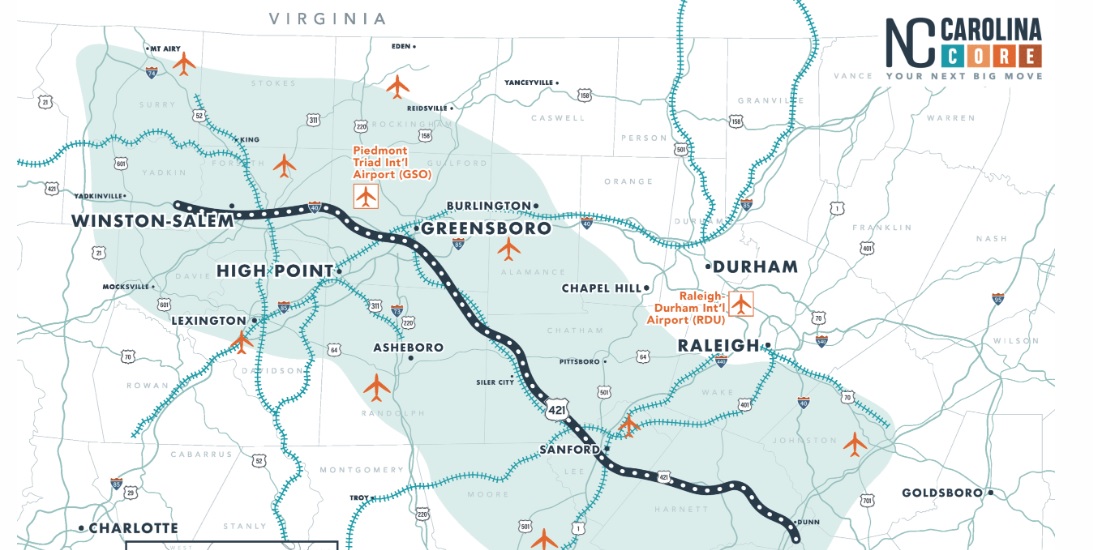
billion in planned capital investments.2 Here's a map of
the Carolina Core region from the group's website, notice the
emphasis on US 421 all the way to Winston-Salem, they are also
lobbying for US 421 between I-40 in Winston-Salem and I-77 become
another interstate, I-777, they hope to have legislation for that route in Congress in 2025:
On
September 25, 2019, the Greensboro Urban Area Metropolitan Planning
Organization (GUAMPO) approved a resolution in support of giving US
421 interstate designation and bringing it up to interstate standards
from Greensboro either to Dunn or Fayetteville, using the NC 87
corridor south of Sanford. The resolution notes that US 421 connects
I-95 with I-40 and would provide a “valuable alternate route for
military and freight traffic” between the 2 cities as well as
“additional evacuation routes and relief and recovery routes to the
region.” The resolution noted that the NCDOT Board of Transportation
had already passed its own resolution in support of upgrading US 421
between I-40 and I-95 to an interstate. Other MPOs along the corridor
approved similar measures between 2019 and 2021.3
The
infrastructure bill signed into law by President Biden in November
2021 contained, among its many provisions, text added by NC Senators
Richard Burr and Thom Tillis making US 421 from I-85 in Greensboro to
I-95 in Dunn a 'High Priority Corridor.' This would be the first step
in asking for a Future Interstate designation along the route, or part
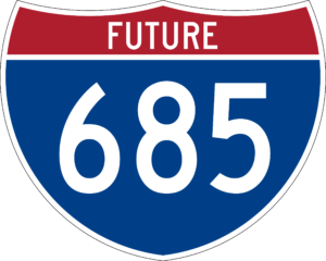
of the route.4 The supporters of this corridor chose I-685
as its proposed number in early 2022. In its Spring 2022 meeting,
AASHTO approved the Future I-685 designation, pending FHWA
concurrence. FHWA concurrence was not publicized but was apparently granted in late 2022 or 2023.
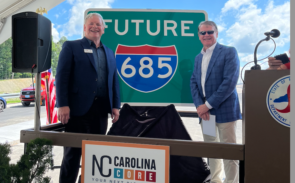
PLACING OF FUTURE I-685 SIGNS IN 2024
On May 20, 2024
NC officials and members of the Carolina Core organization gathered at
the newly completed bridge over US 421 (see photos below) near the
Future Toyota plant in Julian and displayed Future I-685 signs that
will be put up along US 421 between Greensboro. There was no
announcement as to when improvement projects would start to enable the
future route to become an actual interstate. Here's one of the signs displayed:5
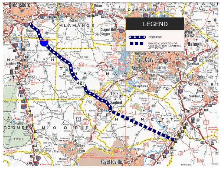
CORRIDOR DESCRIPTION
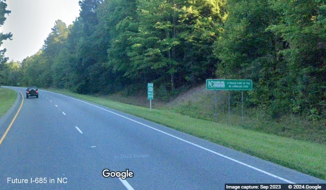
Here's a map of the potential corridor
published by the Triangle Area Rural Planning Organization (TARPO), a voluntary association of local governments in
Chatham, Lee, Moore, and Orange Counties, on November 18, 2021. Notice the indecision as to whether the route should
follow US 421 all the way to I-95 or head south to Fayetteville via NC 87, though an article on the May 20 sign unveiling
discussing the difficulties of upgrading parts of US 421 south of Sanford seem to indicate the US 421 route to Dunn:
A
later alternative map published in 2024, source currently unknown, possibly by NCDOT or a newspaper, showed
3 possible alternative corridors for I-685 south/east of Sanford:
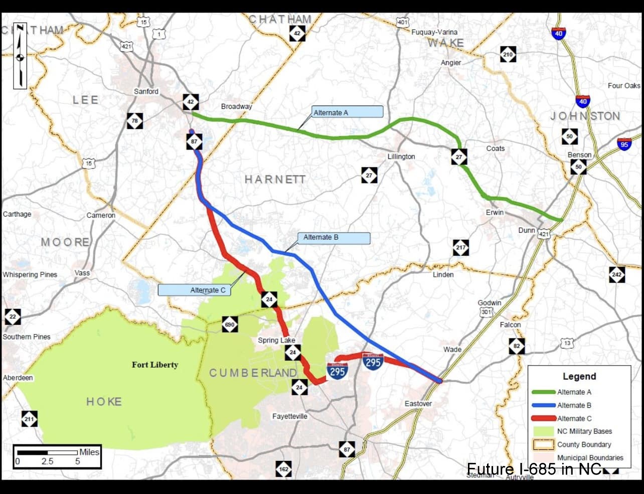
Alternative A would follow the US 421
corridor to Dunn with portions, especially the segment linking to I-95 on a new alignment.
Alternative B would initially follow the NC
87 corridor then on a new alignment between Swann and I-295 near Spring Lake, then using I-295 to access I-95.
Alternative C would mostly follow the NC 87
corridor to I-295 near Fort Liberty (formerly Fort Bragg), then using I-295 to access I-95.
It is unknown whether any of these alternatives are 'official' or if any studies about their
costs and benefits have been funded.
Alternative C would require little new road construction but would require upgrades of the
existing NC 87 roadway. If I-685 is signed along a portion of I-295 it would make it the third two 3-digit interstate
concurrency in North Carolina (I-785/I-840, I-587/I-795). There is only 1 other one in the rest of the country, I-680/I-271
in Cleveland.
1. The building of the Julian Airport/Toyota Battery Plant exit,
Project C204702, which was to be completed on August 14, 2024.6 The interchange opened southbound in July
2024 along with the northbound on-ramp, the northbound off-ramp was finished by the end of the summer in 2025.
2. The conversion of the Shiloh Road and Starmount Road intersections
with US 421 into interchanges in Liberty, Division Project HE-0004. The Shiloh Road exit appears to have been
completed in April 2025. The official completion date for the project was June 14, 2026 (see photos below) and
the project has been removed from NCDOT's Construction Progress Report site.7
There is also a possible future project listed among potential projects
in the 2028-2037 STIP list released in July 2026:
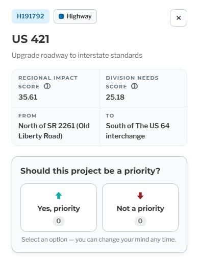
The scores (35.61/75 and 25.18/50), however, might make it difficult
to make the final list, depending on how much support it received in public comments. The Draft STIP will be released during
2027.
Future I-685 signage, June 2026, Courtesy of Mark David Moore:
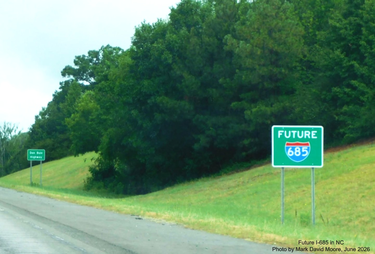
One of the first Future I-685 sign on US 421 North near Siler City.
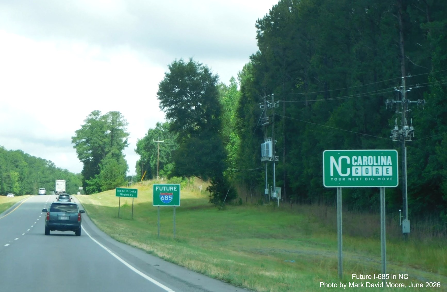
A NC Carolina Core sign along with one for Future I-685 sign on US 421 North in Liberty.
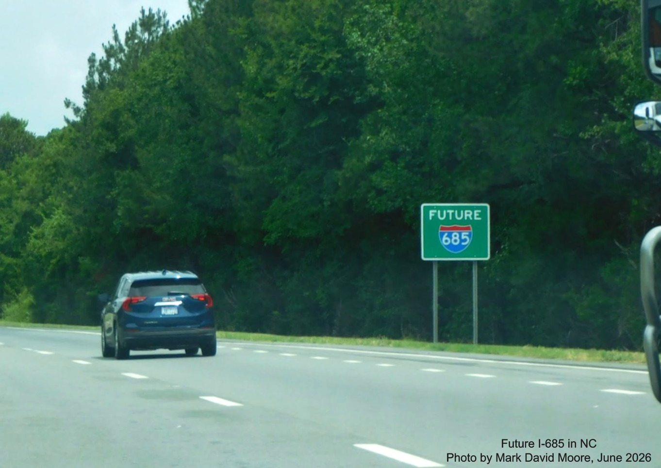
Another Future I-685 sign on US 421 North near the Toyota plant in Julian.
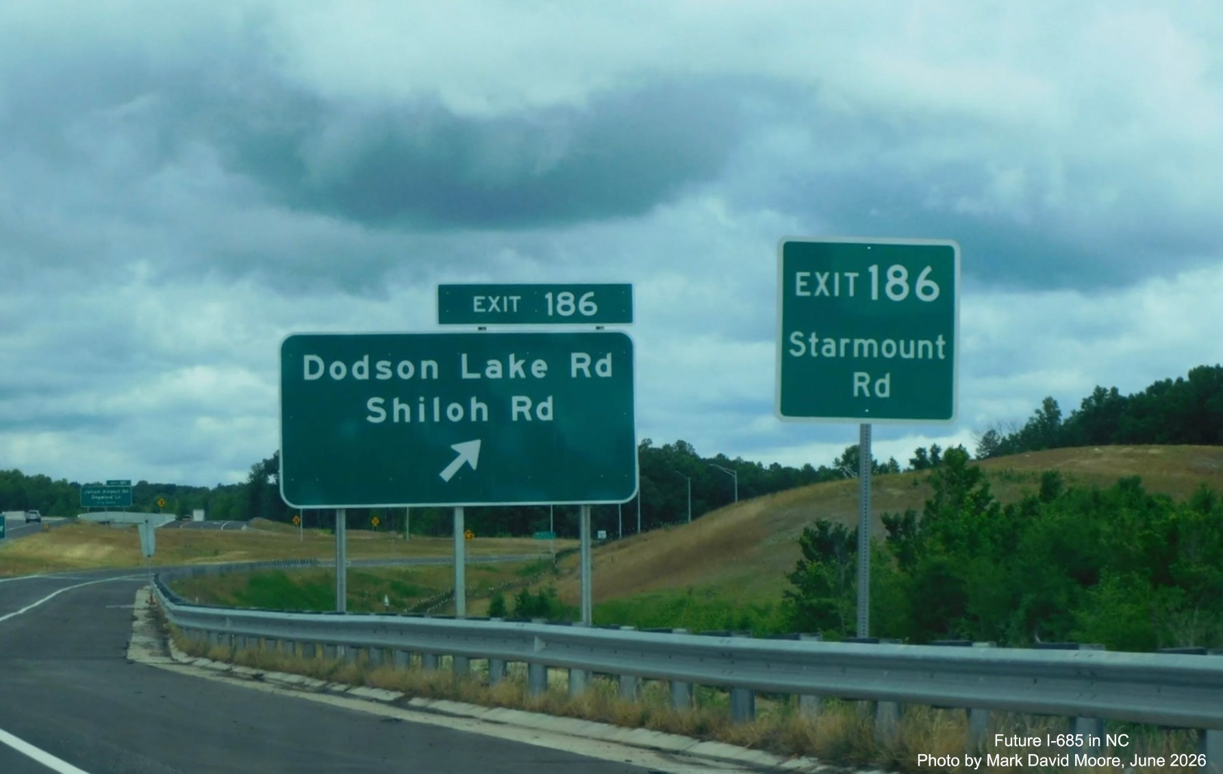
Signage at the newly opened second Toyota plant exit in Julian on US 421 North. The Starmount
Road exit sign was there first (see photos below). So which road is the exit for?
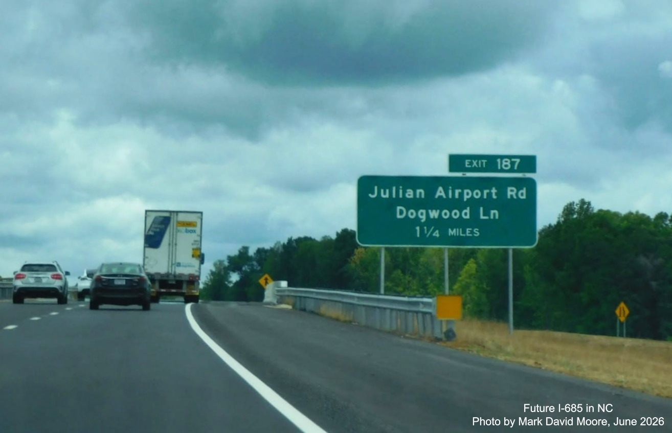
Unusual 1 1/4 Mile advance sign for the first built Toyota plant exit at Julian Airport Road
US 421 North.
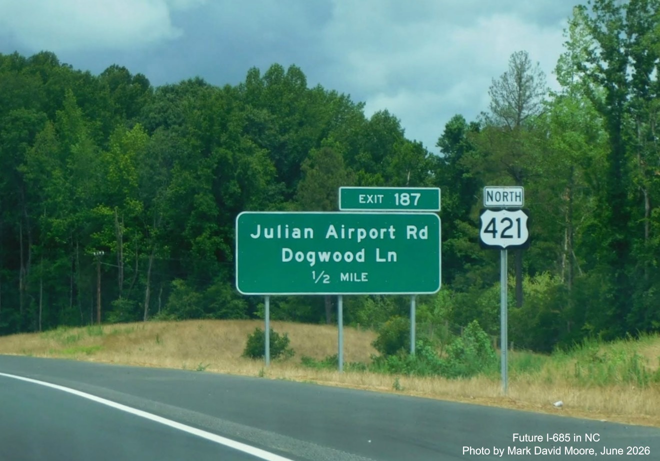
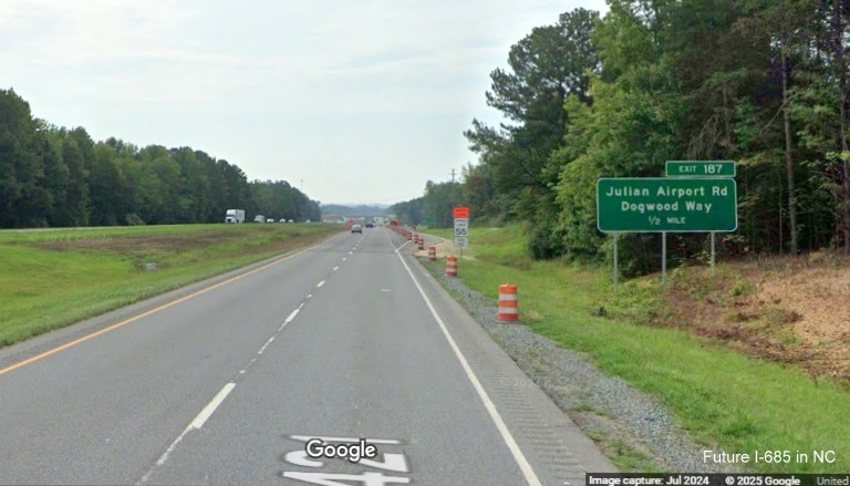
A more usual 1/2 Mile advance sign for Julian Airport Road next to a reassurance marker for
US 421 North.
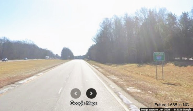
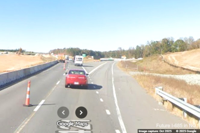
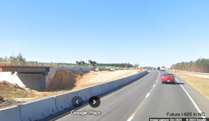
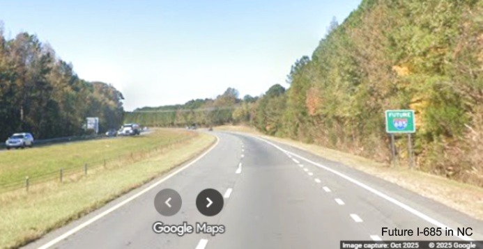
Google Maps Street View images of Future I-685 signage, November 2025 and January 2026:
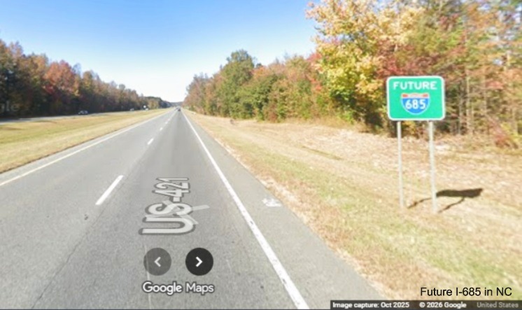
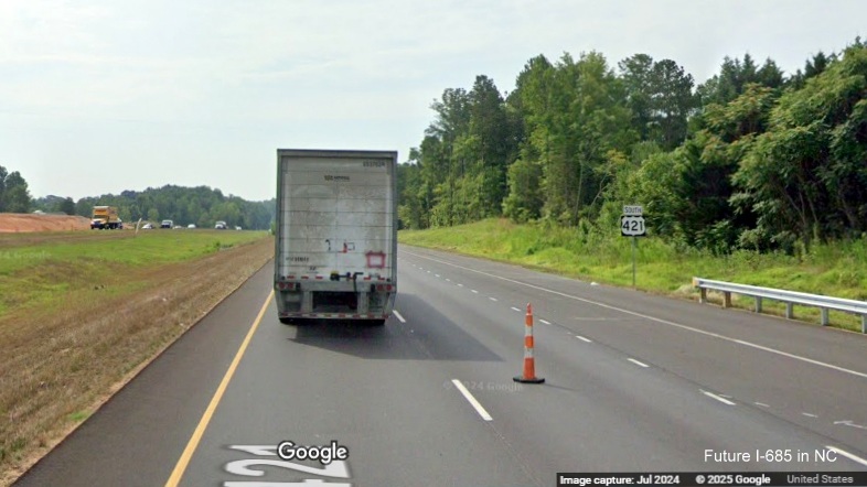
A Future I-685 sign on US 421 North near Julian.
A Future I-685 sign beyond the ramp from I-85 North on US 421 South in Greensboro.
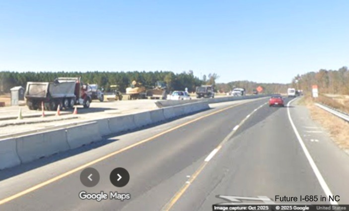
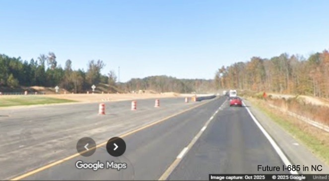
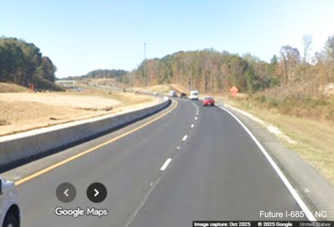
Google Maps Street View images of Julian area exit construction, October 2025:
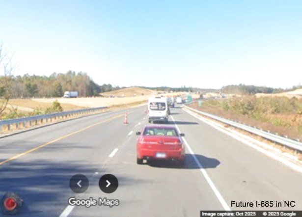
Traffic reduced to one lane approaching the completed exit ramp for Starmount Road being used
for US 421 North traffic.
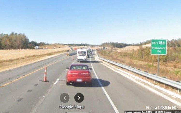
The temporary exit sign on US 421 North for Starmount Road, Exit 186.
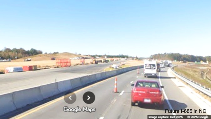
Traffic temporarily using future Starmount Road exit ramp while bridge is being built.
Traffic now heading back up future Starmount Road on-ramp between through (left)
and exiting traffic (right).
US 421 Traffic now proceeding up the future Starmount Road ramp while the future bridge is
under construction on left.
Merging back to the original alignment from the Starmount Road exit ramp.
The extra wide northbound lanes after the Starmount Road exit ramp.
A Future I-685 sign on US 421 North after the Starmount Road exit.
Widening work continues towards the Julian Airport Road exit.
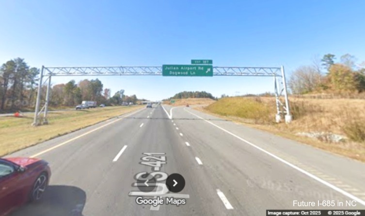
The overhead signage on US 421 North for the Julian Airport/Dogwood Lane exit.
Google Maps Street View images of Neelley Road interchange completion, July 2024:
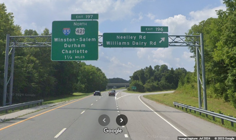
The new overhead signage on US 421 North for the Neelley Road/Williams Church Road exit,
only 1 1/4 Miles south of the I-85 Greensboro Loop exit.
Google Maps Street View images of Julian Airport Road interchange construction, July 2024:
The new 1/2 Mile advance sign on US 421
South, the 1 Mile advance had not be put up at this time, instead a portable VMS was used to indicate the approaching exit.
After the new 1/2 Mile advance sign there
is an auxiliary sign for Toyota, presumably for the battery plant, and not a new town with that name.
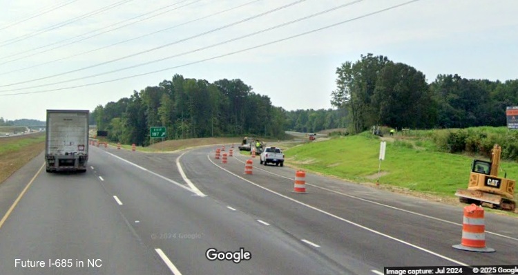
There was still construction going on at the newly opened exit ramp headed south.
Approaching the Julian Airport exit on-ramp which is prior to the bridge.
A closer look at the new bridge over US 421.
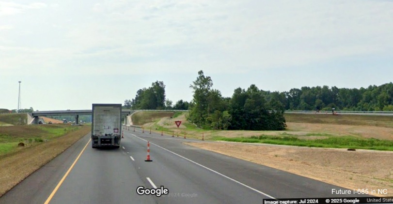
A new US 421 South reassurance marker
after the exit, the interstate standard shoulders continue about 1/2 mile heading south. Turning around...
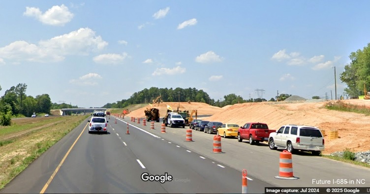
The Airport Road exit ramp was still under construction headed north in July.
Looking back towards the northbound on-ramp which apparently was open.
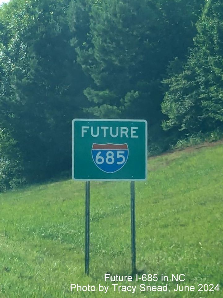
Here's one of the official Future I-685 signs put up along US 421 in Sanford, photo by
Tracy Snead:
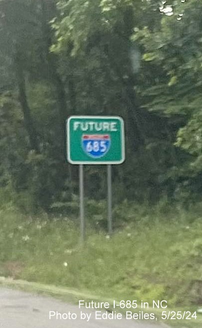
This new I-685 sign was spotted on the Salem Parkway near
Macy Grove Road on May 25, not along the proposed path of I-685, and was taken down a
couple days later, photo by Eddie Beiles:
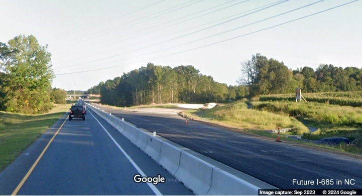
Google Maps Street View images along US 421 near Julian from
September 2023:
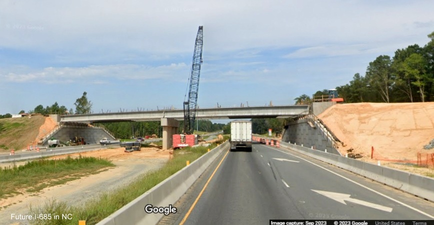
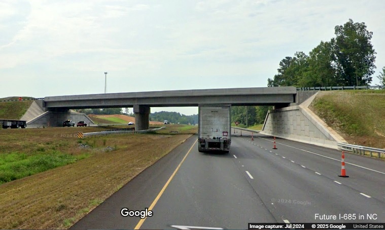
View of new bridge being built for new exit to access Toyota Battery plant in Julian as seen from US 421 North.
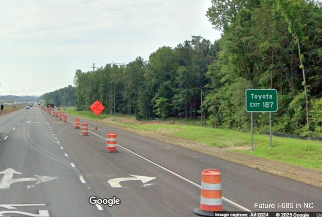
Sign advertising NC Carolina Crossroads/NC Core Megasite along US 421 South prior to the new exit for the Toyota Battery
plant.
US 421 South approaching the new ramp to access the Toyota Battery plant still under construction.
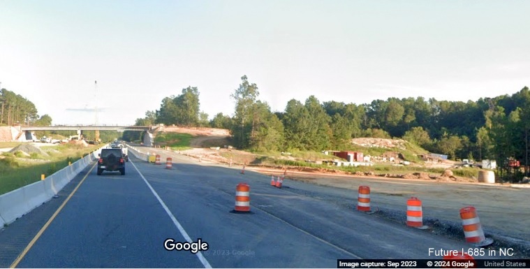
View of future off-ramp for new exit to access Toyota Battery seen prior to the bridge on US 421 South.
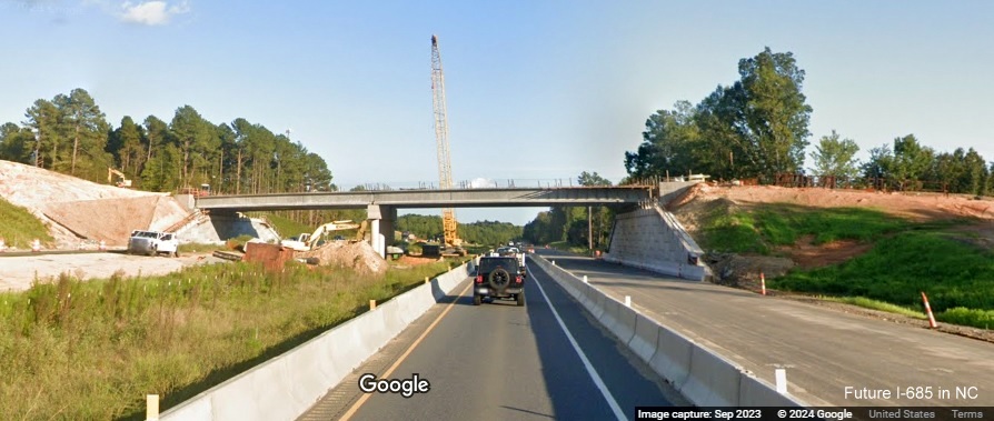
View of new interstate standard bridge being built for the Toyota Battery plant from US 421 South. The bridge was
completed in May 2024.
 Future I-685 - Central Carolina Freeway